PhD Proposal Defense: Usman Nazir

Learning Socio-economic Indicators from Remote Sensing Data
Thursday 12 Sep, 2019 at 03:30 am in CS Smart Room 9-105 SBASSE.
Abstract
Progress on the UN Sustainable Development Goals (SDGs) is hampered by a persistent lack of data regarding key social, environmental, and economic indicators, particularly in developing countries. For example, data on poverty and slavery, the first and eighth of seventeen SDGs respectively, is both spatially sparse and infrequently collected in developing countries due to the high cost of surveys. Governments the world over, therefore, have committed once again to ending poverty and modern slavery in all its forms by 2025. They are, however, faced with a significant challenge: lack of access to reliable, up-to-date and actionable data on these activities. To address this, we developed two annotated datasets from open-source remote sensing imagery of South Asia. The first spatial dataset, named as Asia11, consists of geo-referenced images of 11 classes including brick kilns, houses, roads, tennis courts, farms, sparse trees, dense trees, orchards, parking lots, parks and barren lands. The second spatio-temporal dataset, named as 2C2D, consists of four key transition classes namely construction, destruction, cultivation and de-cultivation.
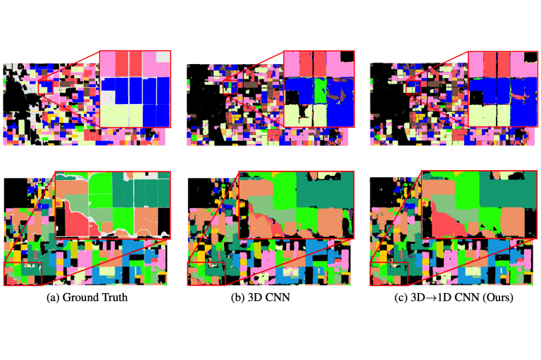
We propose and employ Inception-ResNet inspired deep learning architecture called Tiny-Inception-ResNet-v2 using our spatial dataset Asia11 to eliminate bonded labor by identifying brick kilns within “Brick-Kiln-Belt” of South Asia. Our proposed network architecture, with very few learning parameters, outperforms all state-of-the-art architectures employed for recognition of brick kilns. To incorporate intra-class variations and temporal variations, we then introduce a scalable method to predict socio-economic indicators using our spatio-temporal dataset 2C2D. Our approach improves existing techniques in three ways; forgoing hand-crafted features traditionally used in the remote sensing community, introducing a novel 3D spatio-temporal input technique and incorporating 3D convolutional kernels to explicitly model the spatio-temporal structure of the data and automatically learn useful features. We evaluate the efficacy of our approach on data from three different cities namely Aleppo, Kathmandu and Lahore.
Project Pages:
Spatial Analysis
Spatio-Temporal Analysis


