
Mohbat Tharani

Mohbat Tharani is a Research Assistant in Computer Vision & Graphics Lab (cvglab) at LUMS Syed Babar Ali School of Science and Engineering.
Mohbat Tharani is a Research Assistant in Computer Vision & Graphics Lab (cvglab) at LUMS Syed Babar Ali School of Science and Engineering.
Sohaib Masood Rabbani is an MS-CS student at LUMS and a Graduate Research Assistant at Computer Vision and Graphics Lab (CVGL), LUMS Syed Babar Ali School of Science and Engineering. He earned his undergraduate degree from NUCES-FAST in Computer Science. Currently, he is working on Disease Classification and Localization on Chest X-Rays through deep learning….

Talha Hanif Butt is a MS Thesis student in Computer Vision & Graphics Lab (cvglab) at LUMS Syed Babar Ali School of Science and Engineering.
Deep Learning is a hierarchical learning methodology based on artificial neural networks which are algorithms inspired by the structure and function of the brain. It has applications in wide-range of industries these days such as face-recognisers working at massive scales, robotics, speech translation, text analysis, improving customer experience, autonomous vehicles etc. In this course we…
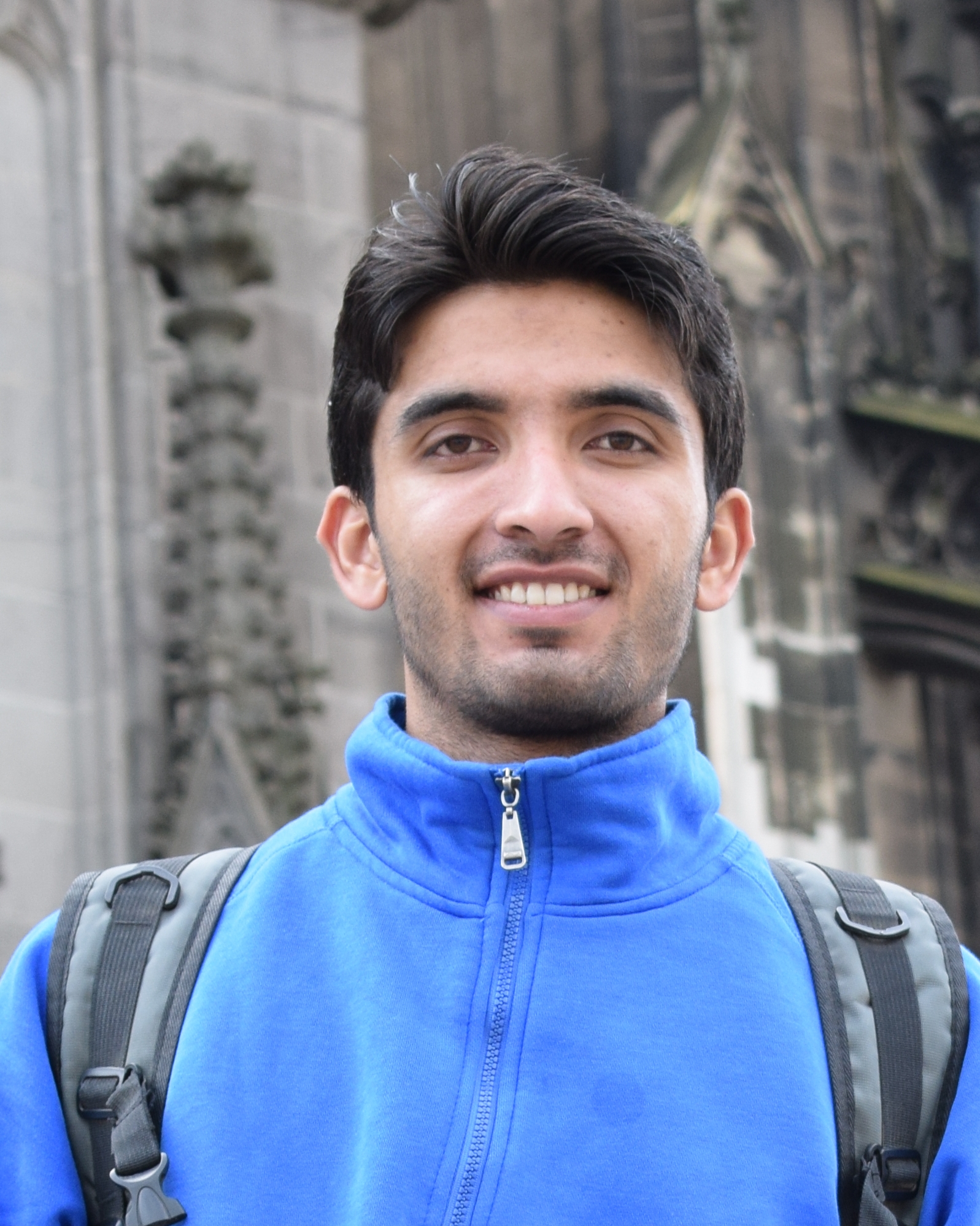
Omair Hassaan is a Research Assistant in Computer Vision & Graphics Lab (cvglab) at LUMS Syed Babar Ali School of Science and Engineering.

Usman Nazir, Numan Khurshid, Muhammad Ahmed Bhimra, Murtaza Taj International Conference on Computer Vision and Pattern Recognition, Long Beach, CA, USA, June 16-21, 2019 Abstract This paper proposes to employ a Inception-ResNet inspired deep learning architecture called Tiny-Inception-ResNet-v2 to eliminate bonded labor by identifying brick kilns within “Brick-Kiln-Belt” of South Asia. The framework is developed…

Muhammad Ahmed Bhimra, Usman Nazir, Murtaza Taj International Conference on Acoustics, Speech and Signal Processing (ICASSP), Brighton, UK, May 12-17, 2019 Abstract In this paper, we propose an approach to recognize spatio-temporal changes from remote sensing data. Instead of performing independent analysis on each instance of satellite imagery, we proposed a 3D Convolutional Neural Network…